Length: Laurel Falls 1.3 miles.
Level of difficulty: Moderate.
Elevations Start 2,250 feet; end 4,000 feet.
The trail winds along the side of the mountain at a consistent grade
that is fairly steep at times, and you are likely to see hikers who are
not accustomed to this type of exercise stopping frequently to take a
breather along the way.
There is a particularly nice stopping point with a long view down the
Laurel Creek and Little River valleys where the trail makes its last
big curve to the right, before it levels slightly and winds it way on to
Laurel Falls. As the trail rises, you will note oak and tuliptrees
between the maples and dogwoods.
| Any closer and I'd get wet....which isn't a bad idea by the way. |
| Breathtaking ! |
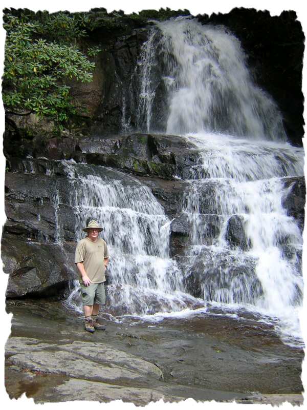
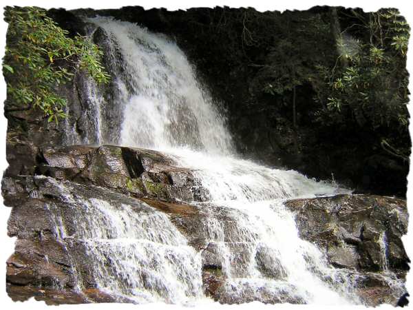
| Laurel Falls |
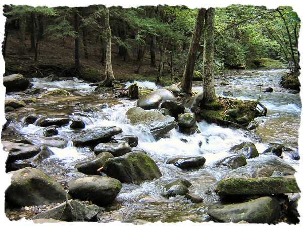
| Laurel Creek from Laurel Falls feeds the Little River. |
Please feel free to send
me an email if you have
questions or comments:
me an email if you have
questions or comments: